
Mittelpunkt: 2707713,1246164 - Radius: 500 m
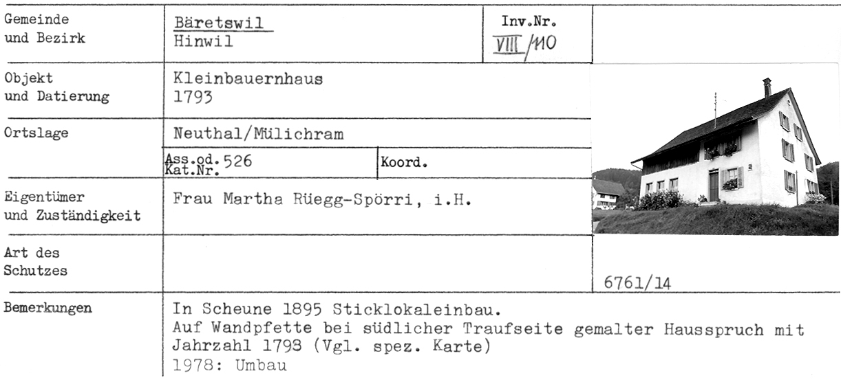
1: Distanz(0) - Kleinbauernhaus, 1793, «Weber-Haus», Neuthal, Mülichram - Adr
2: Distanz(17) - Dachbalkenspruch, 1793, Mülichram (Das alte Weber-Haus)
3: Distanz(57) - Postkarte Neuthal - Bäretswil!
4: Distanz(66) - Kleinbauernhaus, 1840, Neuthal, Mülichram - Adr
5: Distanz(100) - Wohnhaus, 1911, Neuthal, Hofschür - Adr
6: Distanz(105) - Bauernhaus, 1841, Neuthal, Mülichram - Adr
7: Distanz(116) - Stauweiher, 19. Jahrhundert, Neuthal
9: Distanz(120) - ehem. Stickereigebäude, 1907, Neuthal, Mülichram - Adr
11: Distanz(123) - ehem. Bauernhaus (Doppelhaus), 1840, Neuthal, Mülichram - Adr
12: Distanz(128) - Wohnhaus, 1875, Neuthal, Hofschür, Baumastr.46-50 - Adr
13: Distanz(145) - Haus Hürlimann, abgebrannt am 1. Aug.1964
14: Distanz(158) - Wohnhaus mit ehem. Mühle, 18. Jahrhundert, Neuthal - Adr
15: Distanz(168) - Restaurant Mühle Neuthal
16: Distanz(171) - Wohnhaus, 1875, Neuthal, Hofschür, Baumastr.40-44 - Adr
17: Distanz(181) - Eisenbahnbrücke, 1900, Neuthal
18: Distanz(191) - Wohnhaus mit Restaurant «Greifenberg», 1831, Neuthal, Hofschür - Adr
19: Distanz(191) - Magazingebäude, 1881, Neuthal - Adr
20: Distanz(191) - ehem. Baumwollzwirnerei, 1851, Neuthal - Adr
Achtung: Ältere Karten können grössere Abweichungen zur aktuellen Landesvermessung aufweisen!