
Mittelpunkt: 2707801,1246221 - Radius: 500 m
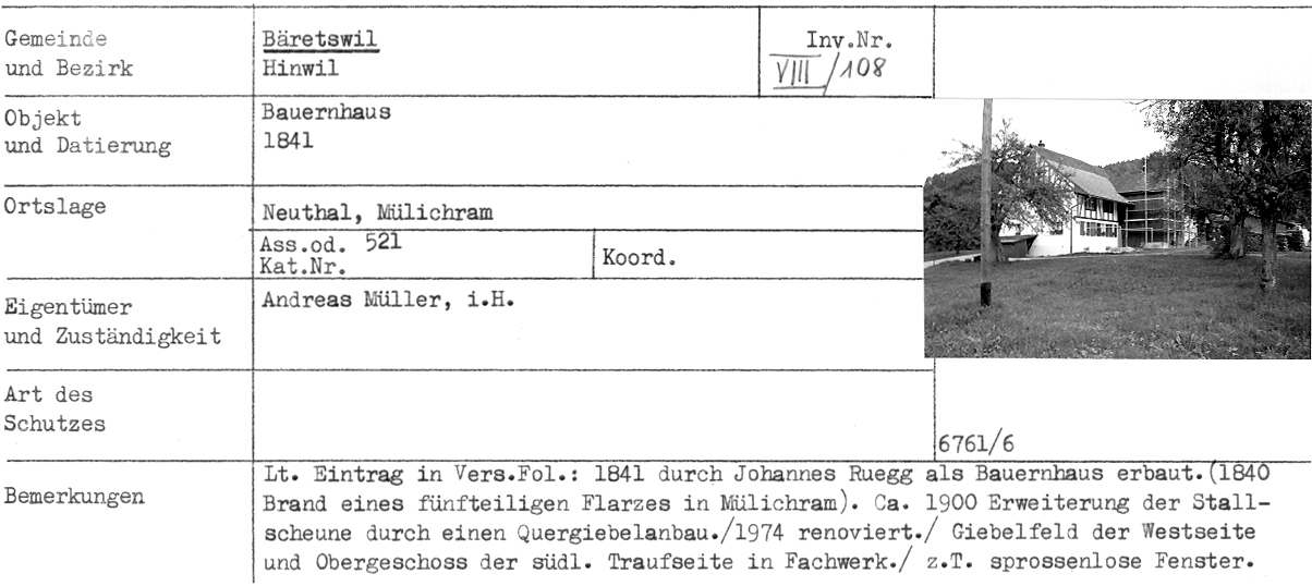
1: Distanz(0) - Bauernhaus, 1841, Neuthal, Mülichram - Adr
2: Distanz(39) - Kleinbauernhaus, 1840, Neuthal, Mülichram - Adr
3: Distanz(39) - ehem. Stickereigebäude, 1907, Neuthal, Mülichram - Adr
4: Distanz(43) - ehem. Bauernhaus (Doppelhaus), 1840, Neuthal, Mülichram - Adr
5: Distanz(99) - Magazingebäude, 1881, Neuthal - Adr
6: Distanz(100) - Eisenbahnbrücke, 1900, Neuthal
7: Distanz(101) - Postkarte Neuthal - Bäretswil!
8: Distanz(105) - Kleinbauernhaus, 1793, «Weber-Haus», Neuthal, Mülichram - Adr
9: Distanz(111) - Dachbalkenspruch, 1793, Mülichram (Das alte Weber-Haus)
10: Distanz(120) - Stauweiher, 19. Jahrhundert, Neuthal
11: Distanz(144) - Hermetschwändi
12: Distanz(148) - Wohnhaus mit ehem. Mühle, 18. Jahrhundert, Neuthal - Adr
13: Distanz(150) - Werkstattgebäude, 1870, Neuthal (Kapelle) - Adr
14: Distanz(154) - ehem. Baumwollspinnerei, 1827, Neuthal - Adr
15: Distanz(157) - Restaurant Mühle Neuthal
17: Distanz(178) - Haus Hürlimann, abgebrannt am 1. Aug.1964
18: Distanz(201) - ehem. Fabrikantenwohnhaus mit Werkstatt, 1835, ehem. Guyer-Zeller-Gut, Neuthal - Adr
19: Distanz(202) - Wohnhaus, 1911, Neuthal, Hofschür - Adr
20: Distanz(205) - Wohnhaus und oberer Park um 1900
Achtung: Ältere Karten können grössere Abweichungen zur aktuellen Landesvermessung aufweisen!