
Mittelpunkt: 2710340,1243890 - Radius: 500 m
1: Distanz(0) - Bruggenweid (zw. Rellsten und Ghöch)
2: Distanz(0) - Bruggenweid (zw. Rellsten und Ghöch)
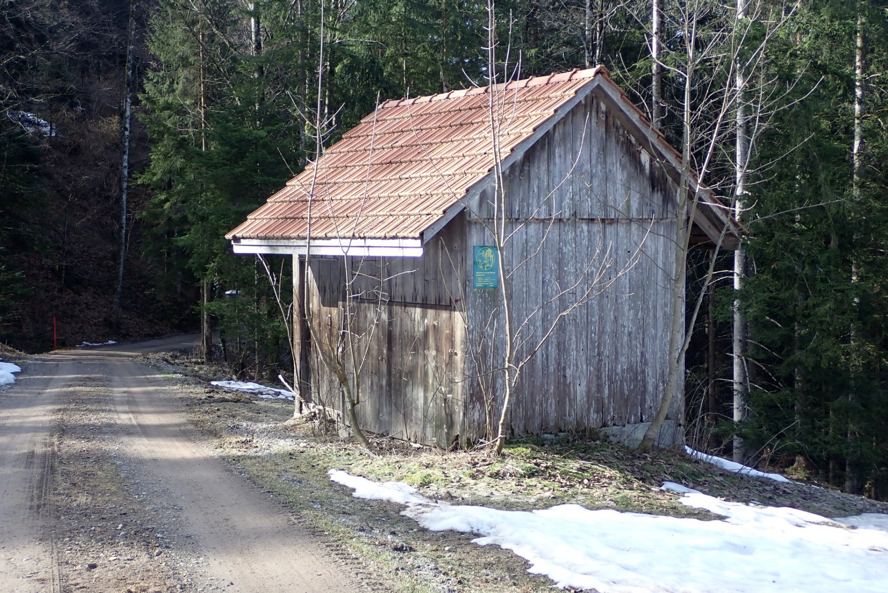
3: Distanz(198) - Munitionsdepot Rellsten – Ghöch
4: Distanz(365) - Ghöch Skilift
5: Distanz(367) - Skilift Ghöch
6: Distanz(383) - Rellstenweid, Pt.837
7: Distanz(396) - Bauernwohnhaus, 1904, Wirzwil, Rellsten - Adr
8: Distanz(429) - ehem. Bauernhaus / heute Ferienhaus, 1828, Ghöch, Gibswil - Adr
9: Distanz(430) - Ghöch im Winter
10: Distanz(453) - Ghöch
11: Distanz(456) - Bauernhaus, 1814, Ghöch, Gibswil - Adr
12: Distanz(456) - Ghöch
13: Distanz(472) - Ghöch, im HG linke Hälfte Vrenelis Gärtli, Mitte Tödi
14: Distanz(490) - Ghöch, TCS-Parkplatz
14: Distanz(490) - Ghöch, TCS-Parkplatz
Achtung: Ältere Karten können grössere Abweichungen zur aktuellen Landesvermessung aufweisen!