
Mittelpunkt: 2707216,1244064 - Radius: 500 m
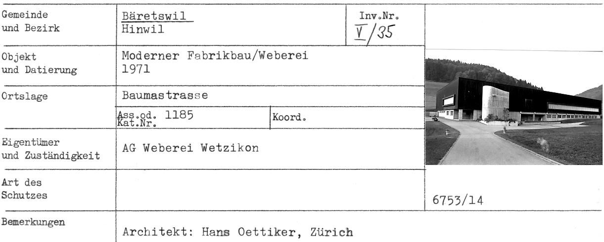
1: Distanz(0) - Moderner Fabrikbau/Weberei, 1971, Adetswilerstr.2+4 - Adr
3: Distanz(22) - Blick vom Ende Lettenbergstr Rtg Formatik
4: Distanz(69) - Fabrikanlage, ehem. Weberei, 1873/1918, Dorf/Adetswilerstr.6+3! - Adr
5: Distanz(72) - links Wohnhaus und Werkstatt (Schreinerei Vanella), rechts ex Hico - Adr
6: Distanz(91) - Wohnhaus, 1851, Adetswilerstr. - Adr
7: Distanz(95) - Anfang Adetswilerstrasse
8: Distanz(99) - Blick vom Lettenberg auf das Dorf
9: Distanz(100) - Neue Gebäude anfangs Adetswilerstr
10: Distanz(106) - Formatik Baumastr/ Adetswilerstr - Adr
11: Distanz(125) - Bauernhaus (Doppelhaus), 1777, Adetswilerstrasse 10 - Adr
12: Distanz(126) - vrnl Baumastr.14 und 16 - Adr
13: Distanz(128) - Wohnhaus, 1875, Baumastr.16 - Adr
14: Distanz(132) - Haus Hansueli Walder (Sigristenhaus) - Adr
15: Distanz(134) - Bäretswil Totalansicht
16: Distanz(134) - Postkarte Bäretswil
17: Distanz(140) - ehem. Kleinbauernhaus, 17./18. Jahrhundert, Adetswilerstrasse 12 - Adr
18: Distanz(142) - Kirche mit Neubau and der Kirche, (auch Adetswilerstr!)
19: Distanz(154) - Bäretswil vom Lettenberg aus
20: Distanz(161) - «Sprützehüsli» resp. «Schützehüsli»
Achtung: Ältere Karten können grössere Abweichungen zur aktuellen Landesvermessung aufweisen!