
Mittelpunkt: 2707527,1246680 - Radius: 500 m
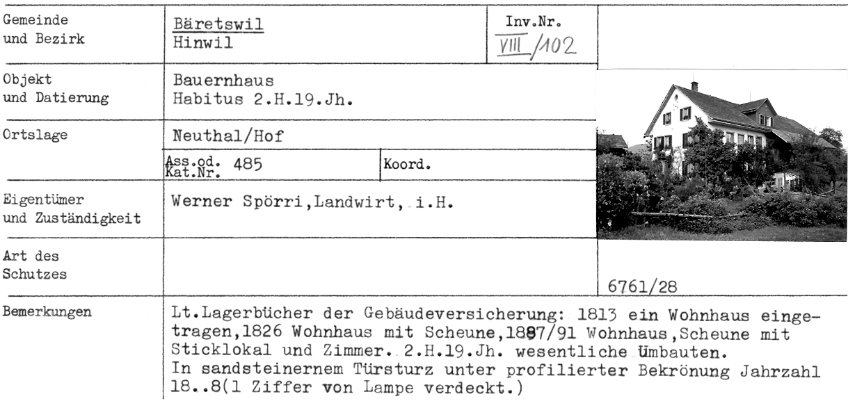
1: Distanz(0) - Bauernhaus, Habitus 2. Hälfte 19. Jahrhundert, Hof, Neuthal - Adr
2: Distanz(28) - ehem. Kleinbauernhaus, 18. Jahrhundert, Hof, Neuthal - Adr
3: Distanz(54) - Kleinbauernhaus, ehem. Doppelhaus, 18. Jahrhundert, Hof, Neuthal - Adr
4: Distanz(60) - Kachelofen, 1829, Neuthal, Hof - Adr
5: Distanz(60) - Reihenhäuser, Flarz, 18.Jh., Neuthal, Hof - Adr
6: Distanz(107) - Bauernhaus (ehem. Doppelhaus), Habitus 19.Jh., Kern älter, Neuthal, Hof - Adr
9: Distanz(275) - Villa/Wohnhaus, Neuthal - Adr
10: Distanz(313) - Ökonomiegebäude, 1865, Neuthal - Adr
11: Distanz(314) - Ökonomiegebäude, 1835, Neuthal - Adr
12: Distanz(343) - Postkarte Fabrikensemble Neuthal, Blick Richtung Hinterburg, Stollen - Adr
13: Distanz(344) - Wohnhaus und oberer Park um 1900
14: Distanz(348) - ehem. Fabrikantenwohnhaus mit Werkstatt, 1835, ehem. Guyer-Zeller-Gut, Neuthal - Adr
15: Distanz(370) - ehem. Baumwollzwirnerei, 1851, Neuthal - Adr
16: Distanz(385) - Restaurant Mühle Neuthal
17: Distanz(388) - Werkstattgebäude, 1870, Neuthal (Kapelle) - Adr
18: Distanz(395) - Wohnhaus mit ehem. Mühle, 18. Jahrhundert, Neuthal - Adr
19: Distanz(398) - ehem. Baumwollspinnerei, 1827, Neuthal - Adr
20: Distanz(401) - Wasserkraftanlage, 1879, Neuthal (Hegner & Co) - Adr
Achtung: Ältere Karten können grössere Abweichungen zur aktuellen Landesvermessung aufweisen!