Mittelpunkt: 2710890,1244170 - Radius: 500 m
1: Distanz 0 m - Ghöchweid
2: Distanz 82 m - Ghöch
3: Distanz 95 m - Ghöchweid
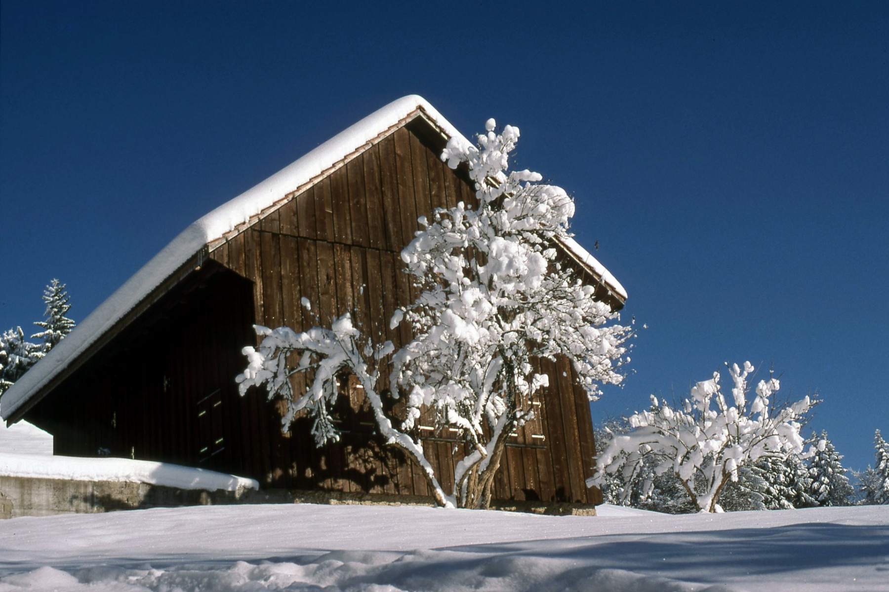
4: Distanz 98 m - Bauernhaus, 1827, Ghöchweid - Adr
5: Distanz 132 m - Ghöchweid
6: Distanz 132 m - Ghöchweid
9: Distanz 241 m - auf zum Baschlisgipfel, 1063 m, höchster Gipfel innerhalb der Gemeinde (höchster Punkt ist 1074 m, knapp unterhalb Allmen (1076m))
10: Distanz 423 m - Munitionsdepot Rellsten – Ghöch
11: Distanz 493 m - Ghöch, Naturfreundehaus Waldeggli
Achtung: Ältere Karten können grössere Abweichungen zur aktuellen Landesvermessung aufweisen!