Mittelpunkt: 2710908,1244077 - Radius: 500 m
1: Distanz 1 m - Ghöchweid
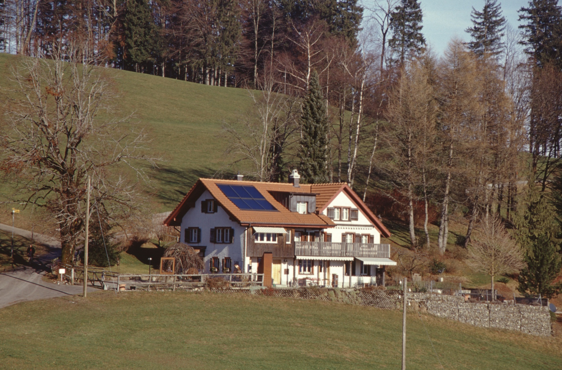
2: Distanz 4 m - Bauernhaus, 1827, Ghöchweid - Adr
3: Distanz 40 m - Ghöch
4: Distanz 53 m - Ghöchweid
5: Distanz 53 m - Ghöchweid
6: Distanz 95 m - Ghöchweid
9: Distanz 335 m - auf zum Baschlisgipfel, 1063 m, höchster Gipfel innerhalb der Gemeinde (höchster Punkt ist 1074 m, knapp unterhalb Allmen (1076m))
10: Distanz 399 m - Ghöch, Naturfreundehaus Waldeggli - Adr
11: Distanz 405 m - Naturfreundehaus Waldeggli, Blick gegen Glärnisch / Aubrig - Adr
12: Distanz 407 m - Naturfreundehaus Waldeggli, Eingangsseite und Grillierplatz - Adr
13: Distanz 407 m - Naturfreundehaus Waldeggli, imHG Brandegg - Adr
14: Distanz 415 m - Munitionsdepot Rellsten – Ghöch
15: Distanz 487 m - Ghöch, TCS-Parkplatz
15: Distanz 487 m - Ghöch, TCS-Parkplatz
16: Distanz 491 m - Ghöch, im HG linke Hälfte Vrenelis Gärtli, Mitte Tödi
Achtung: Ältere Karten können grössere Abweichungen zur aktuellen Landesvermessung aufweisen!